















News

Weather
Posted: Jun 23, 2026 10:02 AMUpdated: Jun 23, 2026 3:34 PM
Severe Weather Possible Tuesday Afternoon, Evening

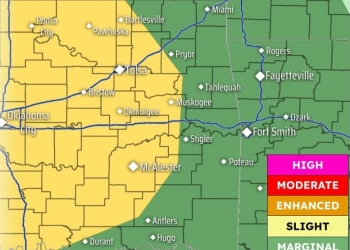
UPDATE- 4:30 P.M. 6-23-2026: Recent models are suggesting that because of the lack of atmospheric warming across northeast Oklahoma and southeast Kansas, the severe risk during the overnight hours has diminished. It is still possible to see some storms with high winds and some hail, but the likelihood has decreased. This appears to now be more of an excessive rain potential rather than severe. A Flood Watch is in effect until 7 a.m. Wednesday.
PREVIOUS STORY
Scattered showers and thunderstorms are expected to develop Tuesday afternoon and early evening as a weak frontal boundary lifts north across the area.
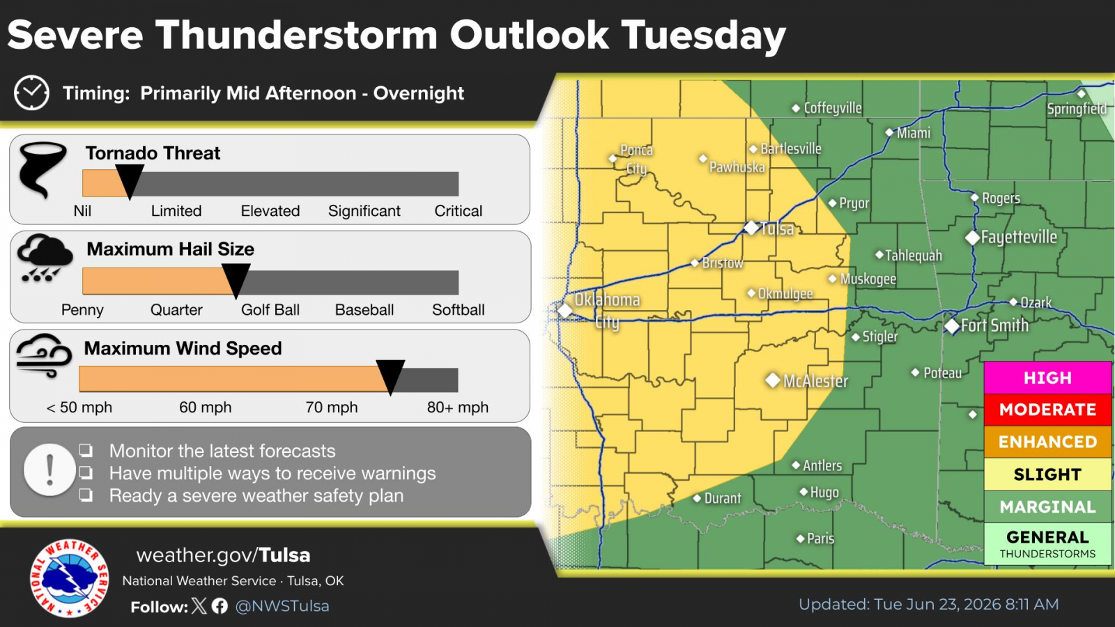
Some of these storms are likely to become severe, with large hail and damaging winds being the main severe weather threats. Locally heavy rainfall will also be possible, which may result in some localized flooding concerns.
A Level 2 of 5 risk zone exists from Bartlesville to the west and south for Tuesday. A Level 1 of 5 risk zone exist from Nowata to the north and east.
Several rounds of showers and thunderstorms are expected in the Wednesday through Friday timeframe. Severe storms will continue to be possible, along with a threat for locally heavy rainfall.
Storm chances will diminish by the weekend, with hot, humid and breezy conditions expected this weekend into early next week. Afternoon heat index values will likely exceed 100 degrees in many places Saturday through Monday.
« Back to News

