


advertisements


News

Weather
Posted: May 06, 2024 1:25 PMUpdated: May 06, 2024 1:26 PM
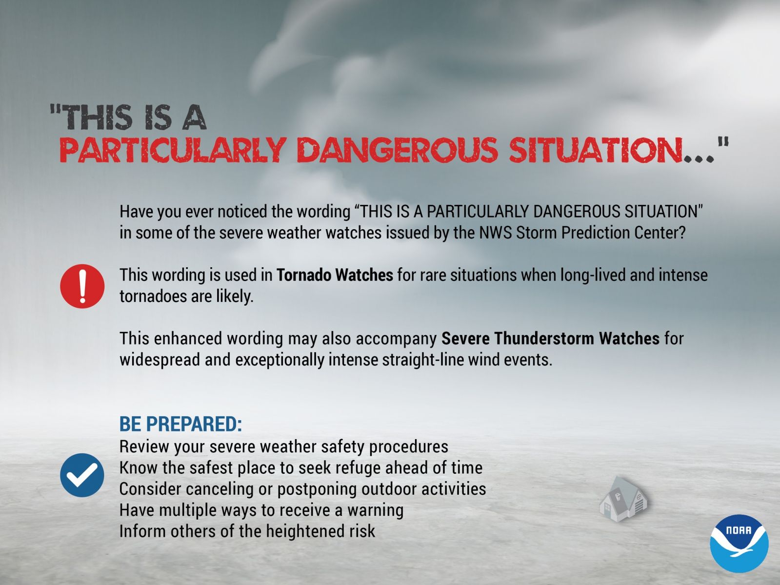
'Potentially Dangerous Situation' Tornado Watch Issued


Nathan Thompson
The National Weather Service Storm Prediction Center has issued a "Potentially Dangerous Situation" Tornado Watch for portions of Kansas and Oklahoma -including Osage County and Chautauqua County until 11 p.m. Monday.
PRIMARY THREATS INCLUDE
- Numerous tornadoes expected with a few intense tornadoes likely
- Widespread large hail and scattered very large hail events to 4 inches in diameter likely
- Scattered damaging winds and isolated significant gusts to 75 mph likely
SUMMARY
Explosive thunderstorm development is forecast Monday afternoon along and east of a north to south oriented dryline. Given a very favorable environment for severe thunderstorms, intense supercells are expected to evolve. These storms are forecast to move east across the Watch area this afternoon through the late evening.
The possibility exists for regenerative supercell development over central Oklahoma this evening. Initially large to giant hail is forecast with the initial supercell activity before the tornado risk increases. Intense tornadoes are probable especially as the atmosphere becomes very favorable for tornadoes late this afternoon and continuing through the evening.
REMEMBER
A Tornado Watch means conditions are favorable for tornadoes and severe thunderstorms in and close to the watch area. Persons in these areas should be on the lookout for threatening weather conditions and listen for later statements and possible warnings.
« Back to News