News

Weather
Posted: May 03, 2024 2:36 PMUpdated: May 03, 2024 2:53 PM
Potential Flooding, Severe Risk Returns for Weekend

Multiple rounds of rainfall are expected from Saturday morning through the day Sunday. Given the recent heavy rainfall, this additional rains could lead to rapid onset flash flooding and mainstream river flooding. A Flood Watch is now in effect for eastern Oklahoma and northwest and west central Arkansas from 7 a.m. Saturday to 7 p.m. Sunday.
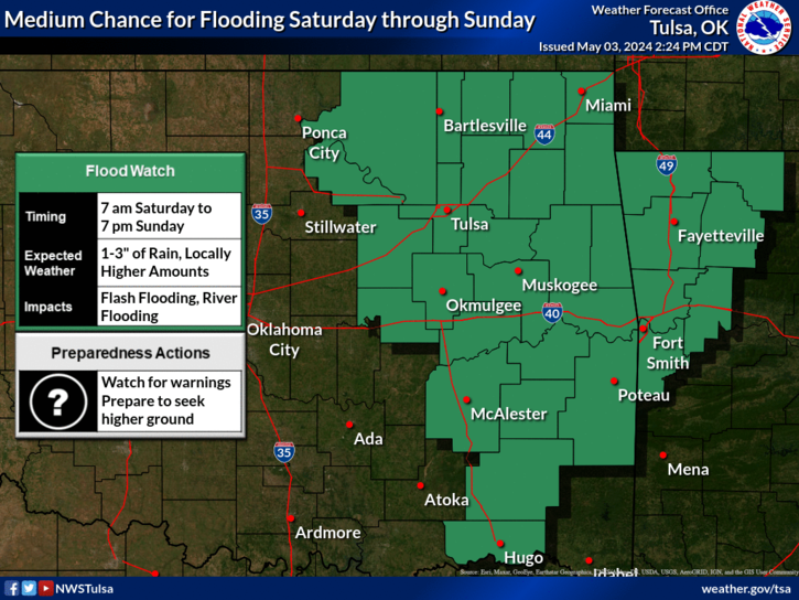
Thunderstorm chances increase area wide on Saturday. Scattered to numerous thunderstorms are expected early Saturday and again Saturday night. A risk of severe weather will accompany the storms on Saturday along with the potential for locally heavy rainfall.
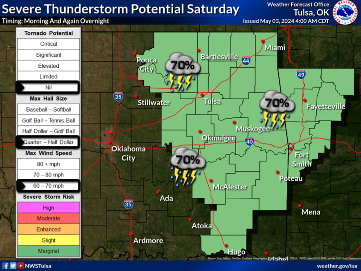
The risk for severe weather moves further away from the listening area Sunday, from a line south and east of Interstate 44.
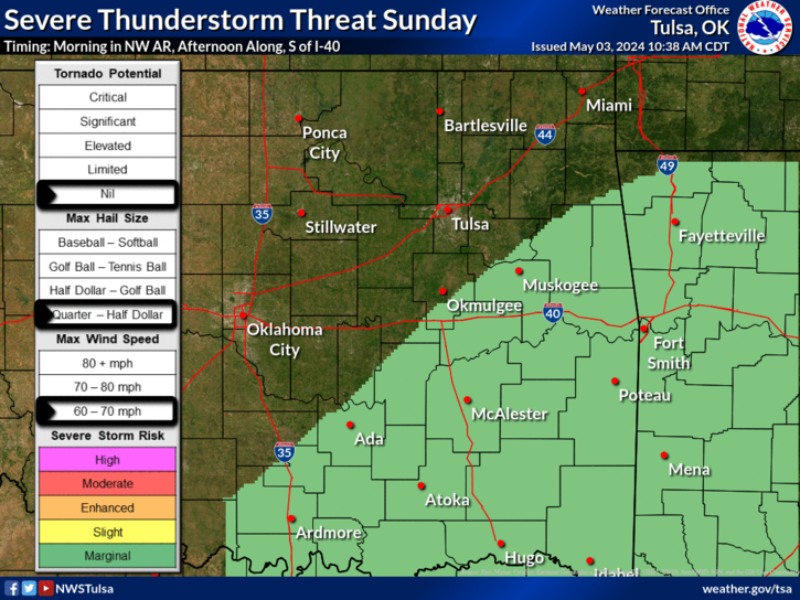
Although at least a low chance for severe thunderstorms will exist each day this weekend into next week, Monday looks to feature the best chance of the next few days. Afternoon and evening thunderstorm development is expected, with potential for higher end severe weather threats.

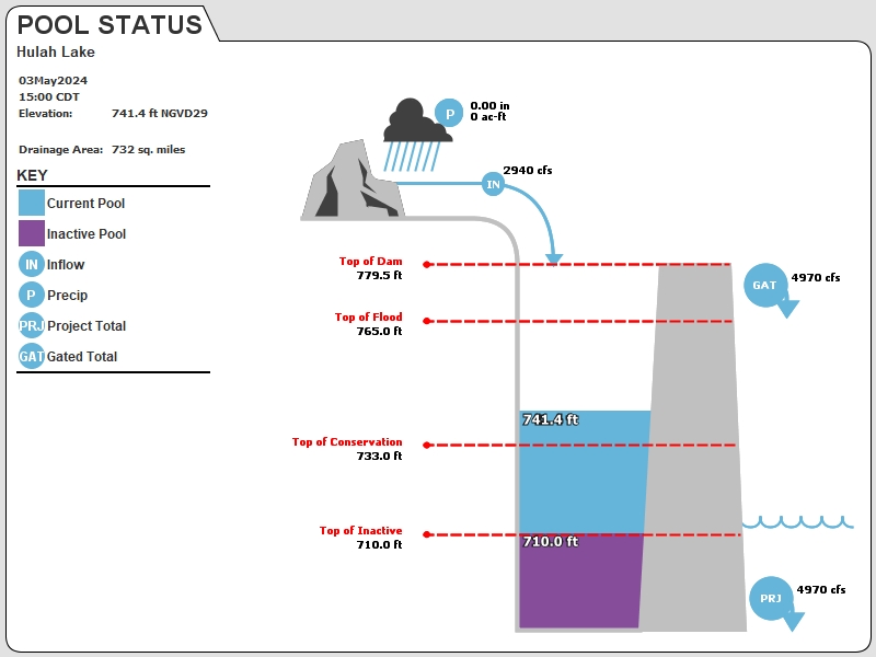
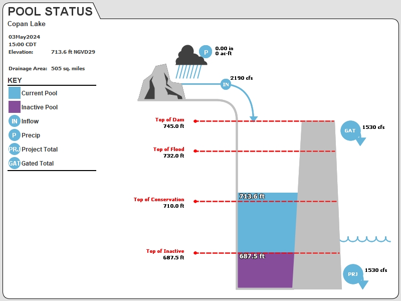
With the risk of heavy rainfall, we are continuing to monitor levels and Hulah and Copan lakes. As of Friday afternoon, Hulah Lake is just over 8 feet above normal and nine gates at the dam are open. Copan Lake is more than 3 feet above normal and three gates are open to a minimal level.
« Back to News


